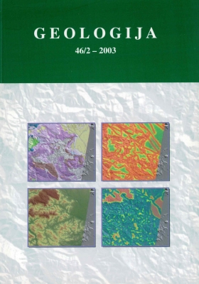
Geotechnical and seismic microzonation map of the Bovec region
Povzetek
Leta 1998 je bil na območju Gornjega Posočja v severnozahodni Sloveniji najmočnejši potres v dvajsetem stoletju na območju teritorija Slovenije. Smrtnih žrtev ni bilo, bilo pa je poškodovano 4200 hiš in drugih objektov. Vlada Slovenije je sprejela obsežen plan popotresne sanacije, ki je bil do leta 2003 skoraj v popolnosti zaključen. Namesto 160 objektov, ki so bili preveč poškodovani, da bi jih bilo mogoče popraviti, so se zgradili novi. Za planiranje, izbor lokacij in določitev pogojev temeljenja je bila izdelana geotehnična karta širšega območja mesta Bovec. Geotehnična karta je bila izdelana na osnovi obstoječe Geološke karte, ki pa je bila dodatno na terenu preverjena in dopolnjena. K temu so bili pridruženi podatki geotehničnih raziskav na terenu, ki so zajemali pregled obstoječe dokumentacije o izvajanju temeljenja na obravnavanem območju, inženirskogeološko kartiranje in vrtanje 20 vrtin na območjih, kjer je primanjkovalo podatkov o sestavi tal. Postopek izdelave Geotehnične karte je bil naslednji. Najprej je bila digitalizirana geološka karta. Geološke enote na karti so bile nadalje združene ali deljene v inženirskogeološke enote, glede na geomehanske lastnosti tal. Drugi pomemben vhodni podatek za izdelavo Geotehnične karte so bili podatki o poškodbah objektov zaradi potresa. V alpskem svetu, kjer ni objektov so bile uporabljene ugtovljene poškodbe, ki so nastale v naravi zaradi potresa. Izdelana je bila karta poškodb, ki je v GIS aplikaciji združevala lokacije poškodovanih objektov z bazo popisa poškodb. Narejena je bila analiza velikosti poškodb v odvisnosti od sestave tal. Na osnovi korelacije med stopnjo velikosti poškodb in sestave tal so bili za inženirskogeološke enote dodatno opredeljene geomehanske lastnosti tal. Pri tem so bili posebno pomembni podatki o območjih, kjer teren gradijo slabo nosilna tla, ki so se ob potresu prikazala kot območja z najtežjimi poškodbami na hišah. Končno so bile inženirskogeološke enote s sorodnimi lastnostmi združene v nov sloj po podobnih geomehanskih lastnostih. Za vsako tako dobljeno združeno inženirskogeološko enoto posebej so bile določeni pogoji temeljenja. Rezultati GIS obdelave so bili pregledno prikazani v izrisih in izpisih: Karta velikosti stopnje poškodb na objektih in v naravi, Geološka karta, Inženirskogeološka karta Tabela pogojev temeljenja za inženirskogeološke enote in Karta seizmične mikrorajonizacije.

