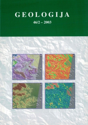
Geohazard map of the central Slovenia - the mathematical approach to landslide prediction
Abstract
Issues connected with unwanted natural occurrences, such as landslides, floods or earthquakes, are a source of concern around the world and Slovenia is no exception. Landslides belong to the category of “manageable” natural disasters. Today, we cannot envisage spatial modelling and prediction of various events without the information technology. GIS is also used to analyse the landslide data and satellite images can serve as a support to the ground reconnaissance. Using the methods of univariate statistics, the influences of individual spatial factors on the different landslide types and on landslides generally were tested. Using multivariate statistical methods, the interactions between factors and landslide distribution, and defined the importance of individual factors on the landslide occurrence were tested. Having combined all the spatial data available, several models were developed. Those that produced. best results were then used to determine and locate the potentially hazardous areas and to draw the map of landslide risk. The landslide risk-map permitted the assessment of the hazard to the inhabitants and infrastructure (roads) on the tested area.

